
By Stuart Kerr, Technology Correspondent, LiveAIWire
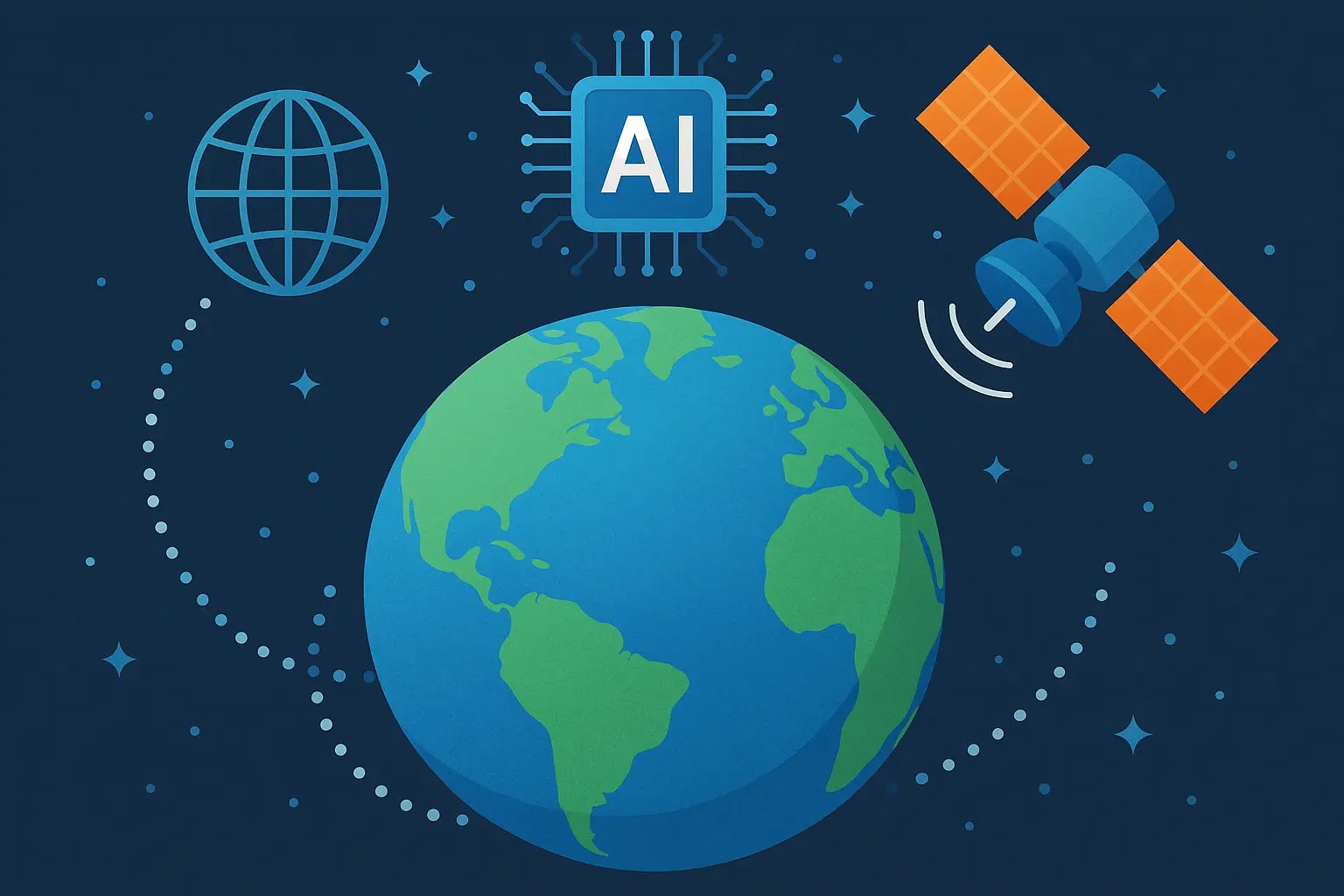
AlphaEarth uses AI to map Earth in nearly real time, functioning as what Google DeepMind calls a virtual satellite that can characterise any 10-by-10 metre patch of the planet’s land and coastal waters on demand. Announced by Google DeepMind on 30 July 2025, AlphaEarth Foundations solves a problem that has quietly limited environmental science for years. Satellites capture enormous volumes of information-rich imagery every day, but that data arrives from dozens of incompatible sources, at different resolutions, and often obscured by cloud cover, making it genuinely difficult to combine into one consistent, usable picture of how the planet is changing.
The model works by integrating optical satellite images, radar scans, 3D laser mapping, and climate simulation data into a single compact digital summary Google calls an embedding. Each embedding requires 16 times less storage space than comparable AI systems, which makes planet-scale analysis financially and computationally practical in a way it was not before. In testing against traditional methods and other AI mapping systems across data from 2017 to 2024, AlphaEarth Foundations achieved a 24 percent lower average error rate, according to Google DeepMind’s own published results, while performing well even in situations where labelled training data was scarce.
How a Virtual Satellite Sees Through Clouds
AlphaEarth Foundations research engineer Christopher Brown described the model at a July press briefing as functioning like a virtual satellite that can map the world at any place and time. That framing matters practically. In Ecuador, the model has been shown to see through persistent cloud cover to detail agricultural plots at various stages of development, a task traditional single-satellite imaging struggles with in consistently overcast regions. In Antarctica, an area notoriously difficult to image because of irregular satellite passes, the model reconstructs surface detail with clarity direct imagery cannot reliably provide. In Canadian farmland, it reveals variations in agricultural land use invisible to the naked eye.
What This Means for Conservation and Land Use Decisions
For scientists, governments, and conservation organisations, the practical shift is from waiting on a single satellite pass to generating a custom map on demand. Google has released AlphaEarth Foundations’ annual embeddings as the Satellite Embedding dataset in Google Earth Engine, covering over 1.4 trillion embedding footprints per year, and more than 50 organisations have already piloted it. The United Nations Food and Agriculture Organization, Harvard Forest, Stanford University, and Brazil’s MapBiomas conservation initiative are among those using the dataset to classify unmapped ecosystems, monitor agricultural change, and track deforestation in the Amazon rainforest. MapBiomas founder Tasso Azevedo said the dataset gives his team options to produce maps that are more accurate, precise, and fast to make than was previously possible.
Why This Data Is Being Given Away Rather Than Sold
Google’s decision to release the underlying embeddings through Google Earth Engine, its existing environmental data platform, rather than keeping the model’s outputs proprietary, is a deliberate choice to accelerate adoption among researchers and public-interest organisations who could not otherwise afford enterprise-scale geospatial AI. The Global Ecosystems Atlas, an initiative building the first comprehensive classification of the world’s ecosystems, is already using the dataset to help countries categorise previously unmapped terrain into groups such as coastal shrublands and hyper-arid deserts. Nick Murray, director of the Global Ecology Lab at James Cook University, has said the dataset is transforming how his team helps countries pinpoint where conservation effort should be concentrated.
The Limits Worth Knowing About
AlphaEarth Foundations is not a live camera feed. Its embeddings are generated as annual summaries covering 2017 through 2024, meaning it reveals patterns and change over time rather than what is happening at a specific location this afternoon. Google has also acknowledged that the model’s core value increases substantially when paired with general reasoning AI systems like Gemini, work the company says it is continuing to explore, which suggests the version available today is closer to a foundation than a finished analytical product. Organisations piloting the dataset are still building the downstream tools needed to turn raw embeddings into the specific maps a given policy or conservation decision requires.
AlphaEarth Foundations sits inside a broader pattern our own coverage of AI and climate change has tracked, where the same computational scale that drives up AI’s own energy footprint is increasingly what makes previously impossible planetary-scale monitoring achievable. Whether tools like this tip the overall balance of AI’s environmental relationship toward net benefit depends on the scale and speed of adoption by the institutions actually making land use and conservation decisions, not on the technology’s capability alone. For now, the fact that a single AI model can generate a consistent, on-demand map of the entire planet’s land and coastal waters, in ten-metre detail, using a fraction of the storage of previous approaches, is a genuine step change in what environmental science has access to, whatever the surrounding trade-offs turn out to be.
About the Author
Stuart Kerr is Technology Correspondent at LiveAIWire, covering artificial intelligence, emerging technology, and their impact on business, society, and everyday life. LiveAIWire publishes original AI journalism every weekday at liveaiwire.com.